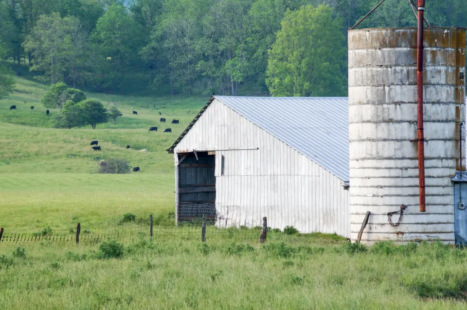
How St. Clair County stands out in Missouri
- Unusually wet: lakes and rivers cover 4% of the county, the 8th highest share in Missouri.
- One of the less populous counties we cover in Missouri, with about 9,587 residents (23rd smallest of 103).
- One of the most uniform well-depth patterns in Missouri: the middle half spans 265 ft to 390 ft.
Closest look-alike: Hickory County next door. Compared with it, St. Clair County has homes 4 years older by median year built, median home values $19,000 lower and wells about 20 ft shallower at the median.
Closest match further away: Gasconade County elsewhere in Missouri. Next to it, St. Clair County has median home values $22,800 lower, water standing 15 ft closer to the surface and fewer people estimated on high-arsenic wells (63 vs 64).
Deep wells make drilling in St. Clair County expensive
At 325 ft for a median well, depth drives the bill: $25 to $65 a foot (Angi 2026 cost guide) puts drilling alone at $8,100 to $21,100. A well as deep as the 75th percentile (390 ft) would be $9,800 to $25,400.
Against a median home value of $157,100 (Census ACS 2020–2024), a new well at that depth is about 5% to 13% of a house's worth, before equipment.
Water at 105 ft is beyond what jet pumps can lift, so plan on a submersible pump and wiring sized for that lift.
How deep wells go in St. Clair County
| Household well records | 1,889 |
|---|---|
| Median depth | 325 ft |
| Middle half of wells | 265 ft to 390 ft |
| Shallowest 10% / deepest 10% | under 210 ft / over 450 ft |
| Median static water level | 105 ft |
| Median tested yield | 30 gpm |
| Rank in Missouri (deepest = 1) | 47th of 103 |
| Deeper than this share of US counties in our data | 89% |
Most wells with a recorded depth fall 300 to 500 ft (60%). Only 4% reach 500 ft or more.
A typical well here holds a deep column of water, about 220 ft, or 323 gallons in a 6-inch casing. That reserve covers short bursts of heavy use while the aquifer refills the well.
The median tested yield is 30 gallons per minute.
Water quality in St. Clair County
St. Clair County has too few sampled wells in the Water Quality Portal (under 10) for a county table, so your own test is the only measure.
Arsenic estimate
About 63 people in St. Clair County (range 48 to 84) are estimated by USGS to be on household wells above the 10 µg/L arsenic limit, a middling figure for Missouri. That is more than in about 59% of Missouri counties. USGS model estimate.
What to test for in St. Clair County
- Coliform bacteria and nitrate every year even in wells this deep (325 ft median); bacteria get in through a cracked cap or casing, not only through the aquifer.
- Arsenic at least once; the county estimate is low, but single wells vary.
Drilling over the decades in St. Clair County
Wells completed since 2010 are somewhat deeper (median 345 ft) than those drilled before 1990 (280 ft). Much of the drilling is recent: the busiest decade was the 2000s, with 688 household wells logged.
St. Clair County next to its neighbours
5 of 7 neighbouring counties with records drill deeper. Medians nearby run from Benton County (270 ft) to Bates County (450 ft).
| County | Median depth | Water level | Yield | People on high-arsenic wells (est.) |
|---|---|---|---|---|
| St. Clair County | 325 ft | 105 ft | 30 gpm | 63 |
| Bates County | 450 ft | 130 ft | 30 gpm | 4 |
| Vernon County | 450 ft | 130 ft | 35 gpm | 5 |
| Cedar County | 400 ft | 120 ft | 45 gpm | 70 |
| Henry County | 390 ft | 130 ft | 30 gpm | 55 |
| Hickory County | 345 ft | 100 ft | 30 gpm | 63 |
| Polk County | 320 ft | 90 ft | 50 gpm | 181 |
| Benton County | 270 ft | 90 ft | 30 gpm | 121 |
Neighbours: Census county adjacency 2024.
St. Clair County and the Ozark Plateaus aquifer system
Most of St. Clair County (61%) lies outside any USGS principal aquifer, so wells draw on smaller, local water-bearing rock; the rest is over the Ozark Plateaus aquifer system. Among the 77 counties in our data that sit mainly over the same aquifer (across 4 states), St. Clair County's median well of 325 ft is near the middle: deeper than about 52% of them.
Uppermost principal aquifer: USGS Principal Aquifers map, sampled across the county on a grid. A well can draw from a deeper or local aquifer instead.
Buying a home with a well in St. Clair County
- The median home here was built in 1979. Ask the seller for the well log, or look it up in the state well records.
- Wells here commonly run 265 ft to 390 ft. If the log shows a much shallower well, ask the inspector why.
- A flow test should be routine; county wells are productive, with a median of 30 gallons per minute.
- Book a well inspection as well as a water test; they check different things.
Help in Missouri
For St. Clair County well owners: all Missouri well rules and data.
Questions about wells in St. Clair County
How deep do you have to drill for water in St. Clair County, Missouri?
325 ft is the median across 1,889 household well records; the middle half are 265 ft to 390 ft.
How much water does a St. Clair County well produce?
The median tested yield is 30 gallons per minute.
What would a new well in St. Clair County cost to drill?
Roughly $8,100 to $21,100 for the drilling at the median depth of 325 ft, before the pump and pressure tank.
Is well water safe to drink in St. Clair County?
Only a certified lab test of your own well can say.
Data for St. Clair County
1,889 household well records, dated from the 1980s to the 2020s, from the state well records (source); homes and population from Census ACS 2020–2024. How we filter the records. Download St. Clair County as JSON (CC BY 4.0).